In April 2025, OUR Community Forestry and the City of Phoenix planted a corridor of climate resilient trees along Highway 99, in ground the Almeda Fire burned in 2020. A drone carrying LiDAR mapped the corridor in June 2025 and again in October 2026. Slide between the two flights below, visit each of the 98 trees that were measured, and see how much each one grew.
98trees measured24species34grew a foot or more27%more crown areaThe corridor in 3D
Both LiDAR flights in one view. Slide between June 2025 and October 2026, choose any of the 98 trees to see its numbers, or open the Map tab.
More to explore
The full story
The fire, the planting and two seasons of growth, told with maps, photos and the measurements of every tree.
Read the story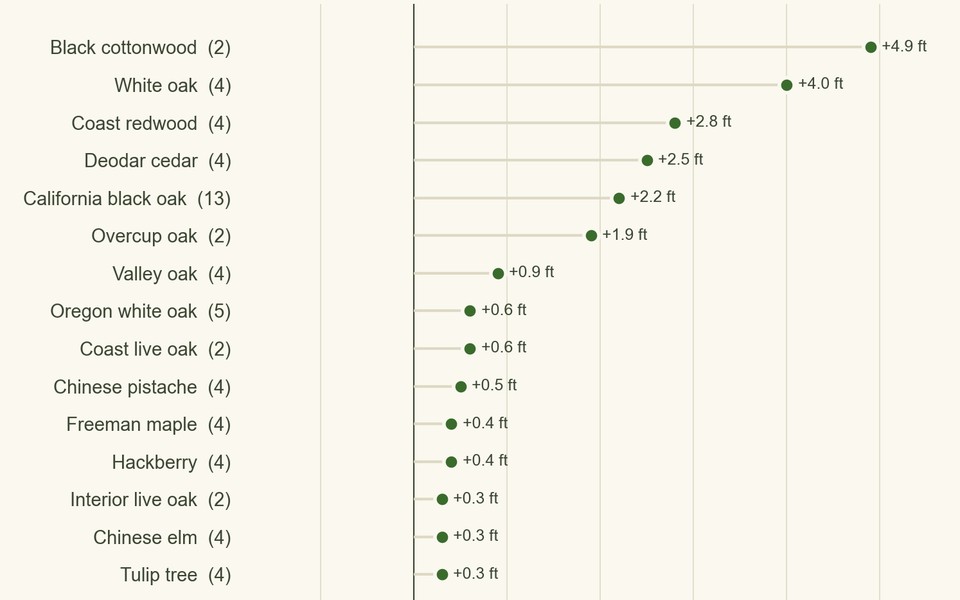
The numbers
Growth and crown area for all 98 trees. Choose a species to see each of its trees.
Open the dashboard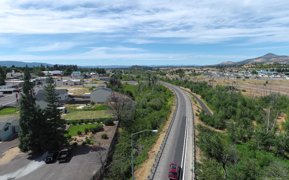
Look around
A full circle view from the air above the south end of the corridor, June 2025.
Open the 360 view

Project Gallery